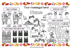
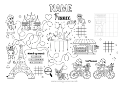
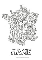
Coloring Map of France with Connect-the-Dots Numbers
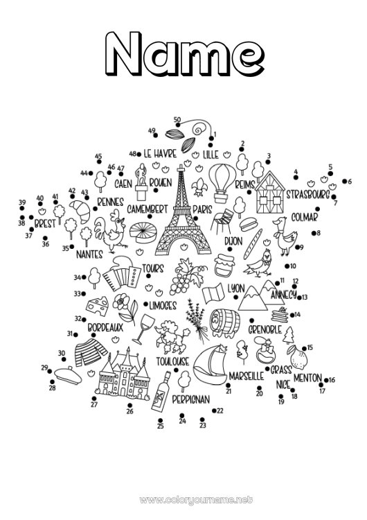
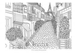
This connect-the-dots coloring page of France is both fun and educational! Children enjoy connecting the numbered dots to reveal the shape of the country, and then coloring in the regional symbols: the Eiffel Tower in Paris, the camembert cheese from Normandy, the lavender fields of Provence, the mountains of the Alps, the vineyards of Bordeaux, and the boats of Marseille.
Each illustration represents a specialty or an iconic city, making this activity perfect for learning about the geography of France while having fun. Once the outline is complete, the child can color the landscapes and personalize the page with their name at the top of the map.
This printable educational coloring page promotes concentration, hand-eye coordination, and cultural curiosity. It is ideal for school activities, world discovery workshops, or creative moments at home.

1 - I customize my coloring page/document


2 - I print for free my coloring page/document
Click on the "PRINT (PDF Format)" or "PRINT (PNG Image Format)" button to download your document. You will be redirected to a short ad video before you can access your file. (Make sure your ad blocker is disabled.)
7 others coloring pages of arc de triomphe
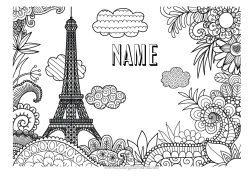
15 others coloring pages of eiffel tower


30 others coloring pages of country map
39 others coloring pages of connect the numbers
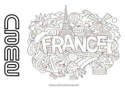
40 others coloring pages of france