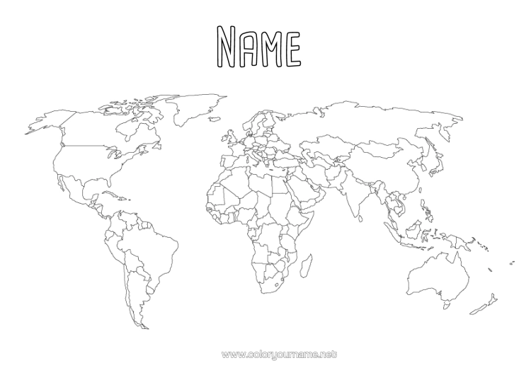
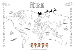
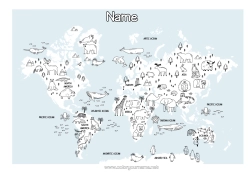
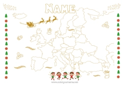
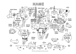
Blank world map to complete
Welcome to our blank world map page with country borders, an exciting educational activity for all ages!
On this page, you will find a complete world map with the borders of each country. You can choose to leave the map as it is, complete it by identifying the countries and their capitals, or colour it to personalise your experience.
Information about the world map:
- The continents: North America, South America, Europe, Asia, Africa, Oceania, Antarctica.
- The oceans: The Atlantic Ocean, the Pacific Ocean, the Indian Ocean, the Arctic Ocean, the Southern Ocean.
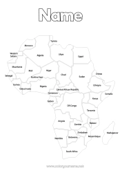
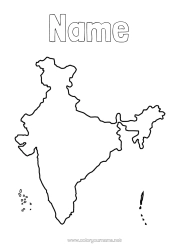
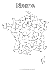
- Various country borders: Explore the world and discover the countries and their boundaries.
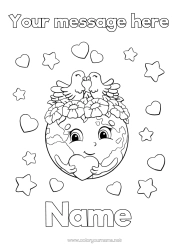
Personalise this colouring with a short message before printing it, such as:
- "Explore the world."
- "Discover the countries."
- "Colour and learn."
- "Borders to trace."
- "Geography in action."
- "Map adventure."
- "Know your world."
- "Learning is fun."
- "Draw the borders."
- "Educate while having fun."

1 - I customise my colouring page/document

2 - I print for free my colouring page/document
Click on the "PRINT (PDF Format)" or "PRINT (PNG Image Format)" button to download your document. You will be redirected to a short ad video before you can access your file. (Make sure your ad blocker is disabled.)
8 others coloring pages of world map of mischievous elves
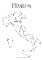
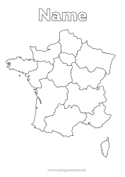
15 others coloring pages of world map
115 others coloring pages of geography
135 others coloring pages of mischievous elf's journey
409 others coloring pages of children's activities