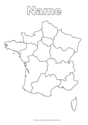
Political map of Africa
Political map of Africa
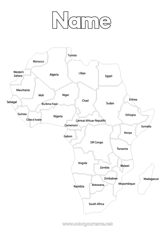
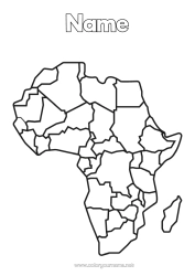
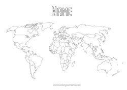
Simplified map of Africa with the names of the countries. This is a political map where each country is delineated by clear borders. The names of the countries are written within their respective outlines, allowing for the identification of nations such as Morocco, Algeria, Libya, Egypt, the Democratic Republic of the Congo, Ethiopia, Kenya, Tanzania, South Africa, and many others. At the top of the page, above the map, a name or instruction can be added to personalise the page. This type of colouring activity is educational and can be used to help children learn the geography of the African continent while having fun colouring.

1 - I customise my colouring page/document


2 - I print for free my colouring page/document
Click on the "PRINT (PDF Format)" or "PRINT (PNG Image Format)" button to download your document. You will be redirected to a short ad video before you can access your file. (Make sure your ad blocker is disabled.)
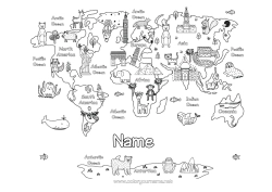
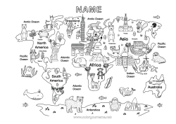
6 others coloring pages of map of the continents
12 others coloring pages of africa
15 others coloring pages of world map
27 others coloring pages of egypt
115 others coloring pages of geography