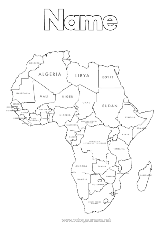
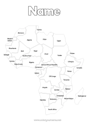
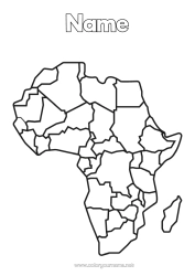
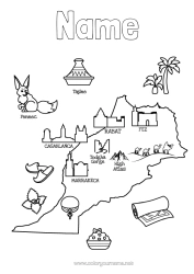
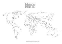
Colouring map of the African continent: country borders
Colouring page featuring a map of Africa with defined political national borders. The colouring of the continent can be personalised with a title such as "African Continent" or "Colour the Countries" before being printed.
The African continent is the second largest continent in the world after Asia. It is a continent rich in cultural, linguistic, and geographical diversity. Africa is often referred to as the "cradle of humanity" due to the fossils of human ancestors discovered there, some dating back over 2 million years.
All African countries are present on the map. Here are some of the countries on the map:
North Africa: Morocco, Algeria, Tunisia, Libya, Egypt.
West Africa: Mauritania, Mali, Niger, Chad, Sudan, Senegal, Gambia, Guinea, Sierra Leone, Liberia, Ivory Coast, Ghana, Togo, Burkina Faso, Nigeria.
Central Africa: Central African Republic, Cameroon, Gabon, Republic of Congo, Democratic Republic of Congo.
East Africa: Somalia, Ethiopia, Kenya, Tanzania.
Southern Africa: Angola, Zambia, Zimbabwe, Mozambique, Namibia, Botswana, South Africa, Lesotho, Eswatini (formerly Swaziland).
Islands near Africa: Madagascar.
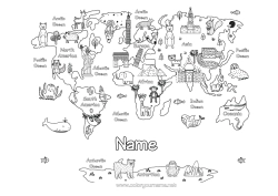
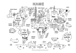
The colouring map could be used as an educational tool to help children learn the geography of the African continent while having fun colouring. They can also learn the names and locations of the different countries.

1 - I customise my colouring page/document


2 - I print for free my colouring page/document
Click on the "PRINT (PDF Format)" or "PRINT (PNG Image Format)" button to download your document. You will be redirected to a short ad video before you can access your file. (Make sure your ad blocker is disabled.)
6 others coloring pages of map of the continents
12 others coloring pages of africa
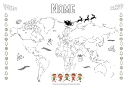
15 others coloring pages of world map
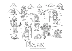
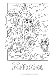
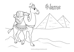
27 others coloring pages of egypt
115 others coloring pages of geography