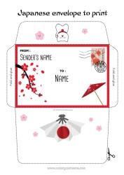
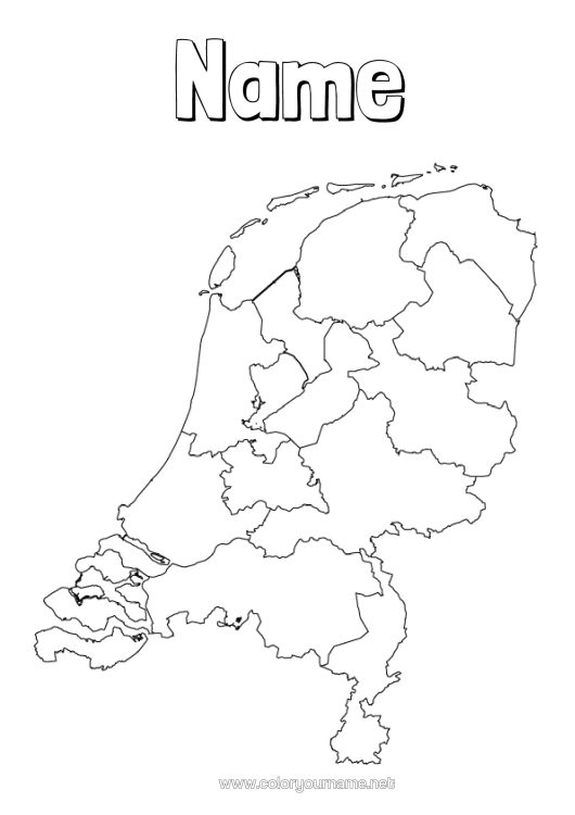
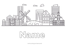
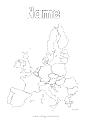
Customisable black and white map of the Netherlands.
Map of the Netherlands, with its various regions outlined by lines. At the top of the page, a short text can be added to personalise the colouring. The Netherlands is made up of 12 provinces, which could be identified on the map as follows, starting from the north and moving south:
Groningen
Friesland
Drenthe
Overijssel
Flevoland
Gelderland
Utrecht
North Holland
South Holland
Zeeland
North Brabant
Limburg
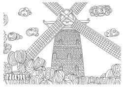
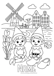
The Netherlands is known for its flat landscapes, numerous canals, tulip fields, windmills, and cycling culture. The capital, Amsterdam, is famous for its artistic heritage, canal system and narrow houses with gabled facades. Children could learn by colouring the regions and associating the specific characteristics of each province with them.

1 - I customise my colouring page/document


2 - I print for free my colouring page/document
Click on the "PRINT (PDF Format)" or "PRINT (PNG Image Format)" button to download your document. You will be redirected to a short ad video before you can access your file. (Make sure your ad blocker is disabled.)
13 others coloring pages of netherlands
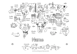
30 others coloring pages of map of countries
115 others coloring pages of geography
120 others coloring pages of country